← Back to all collisionsConfidence: Medium 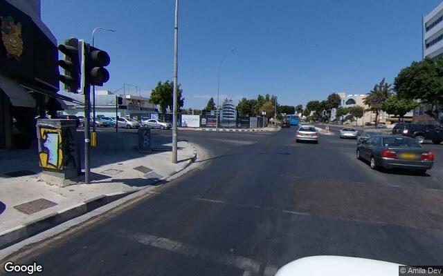
Source: Cyprus Police News
Reported collision #59
Λεμεσός · Λεωφόρος Ομονοίας
Junction-level (accurate to about ±20 m)
Date
10 Oct 2026
City
Λεμεσός
Loading map…
Area infrastructure (from OpenStreetMap)
Primary road
secondary
Road name
Leoforos Omonoias
Speed limit
50
Lanes
3
One-way
Yes
Lit
not tagged
Surface
asphalt
Safety barrier
Unknown
Paved shoulder
Unknown
Traffic signals within 30m
2
Marked pedestrian crossings within 30m
6
Roundabout within 30m
No
Sidewalks
Present
Cycleways
Unknown
Indicative Safe System score (Road to Zero method)
What counts toward this rating? →How this was rated
- −Speed limit (50 km/h) is high risk for pedestrians and cyclists.
- +Traffic signals regulate intersection conflict points.
This safety rating is computed using a rule-based weighted model inspired by iRAP's methodology, evaluating infrastructure elements from OpenStreetMap (such as speed limits, sidewalks, crossings, and lighting) relative to the road user types involved.
Disclaimer: an indicative score from Road to Zero's own rule-based model — NOT an iRAP Star Rating and not produced or endorsed by iRAP.
Location Imagery
Aerial view (satellite)
Loading satellite map…
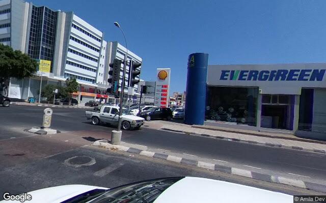
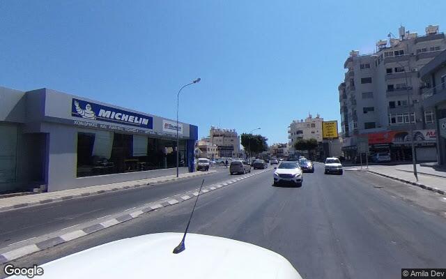
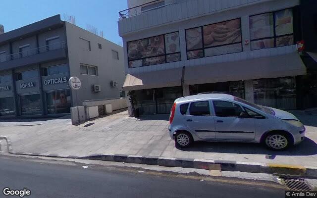
Street-level view (Google)
North (0°)
East (90°)
South (180°)
West (270°)
Street View © GoogleCaptured on 2020-08
View on Google Street View ↗How the risk could be reduced
A safety analysis for this location has not been published yet.
Media Coverage & Language Analysis
The source article may be in Greek.