← Back to mapConfidence: Low 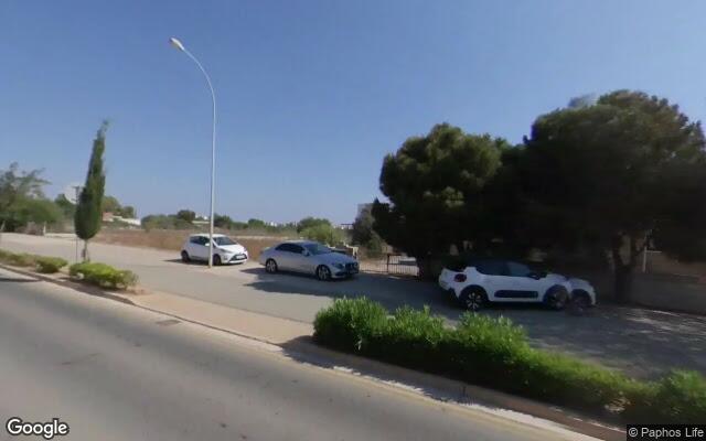
Source: Cyprus Police News
Reported collision #56
Πρωταράς · Λεωφόρος Κάβο Γκρέκο
Street-level
Date
01 Oct 2026
City
Πρωταράς
Involved Road Users
PedestrianMotorcyclist
Loading map…
Area infrastructure (from OpenStreetMap)
Primary road
residential
Road name
not tagged
Speed limit
not tagged
Lanes
not tagged
One-way
not tagged
Lit
not tagged
Surface
asphalt
Safety barrier
Unknown
Paved shoulder
Unknown
Traffic signals within 150m
0
Marked pedestrian crossings
0
Roundabout nearby
No
Sidewalks
Unknown
Cycleways
Present
Indicative Safe System rating (iRAP-inspired)
What counts toward this rating? →How this was rated
- −Safety rating capped due to missing safety-critical infrastructure details (speed limit, sidewalks).
- −Missing speed limit data in OpenStreetMap.
This safety rating is computed using a rule-based weighted model inspired by iRAP's methodology, evaluating infrastructure elements from OpenStreetMap (such as speed limits, sidewalks, crossings, and lighting) relative to the road user types involved.
Disclaimer: Indicative / iRAP-inspired — NOT an official iRAP rating
Location Imagery
Aerial view (satellite)
Loading satellite map…
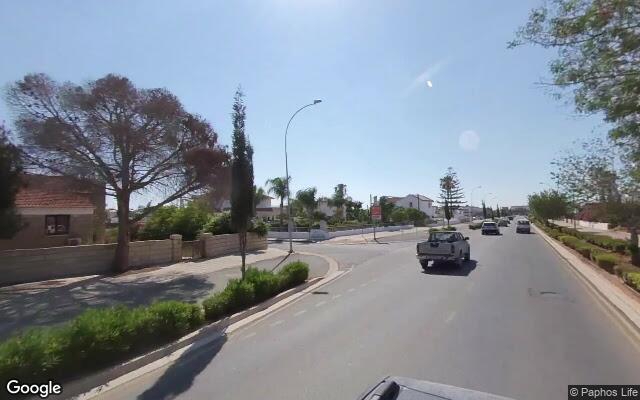
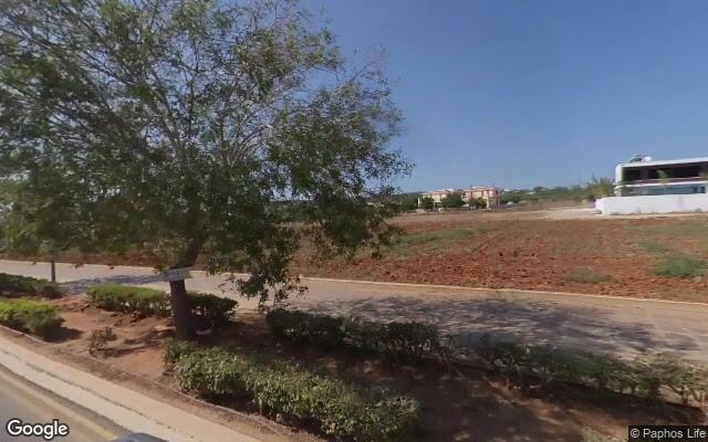
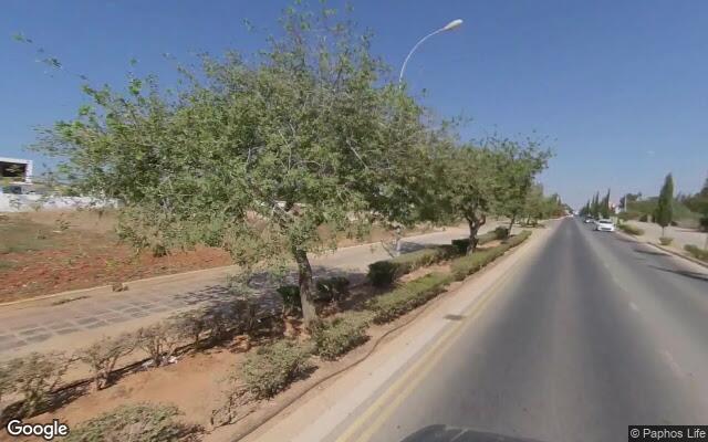
Street-level view (Google)
North (0°)
East (90°)
South (180°)
West (270°)
Street View © GoogleCaptured on 2021-06
View on Google Street View ↗How the risk could be reduced
A safety analysis for this location has not been published yet.
Media Coverage & Language Analysis
The source article may be in Greek.